At a glance
- 850 m above sea level
- Sun today 07:49–17:08
- In a Natura 2000 site
- Coste Rousse 400 m away
About this place
In Auvergne-Rhône-Alpes, Les Murmures du Lignon is a campsite with a heated pool.
The nearest villages are Coste Rousse, Saint-Jeures and Montfaucon-en-Velay, all within 10 km. Altitude: 850 m. It is within the protected area Haute vallée du Lignon.
There are 102 pitches. Facilities include aqua aerobics, shows, basketball and volleyball. Services: restaurant, bar, fresh bread and laundry.
August: average high of 25 °C and 8 clear days.
Others in the area: campsites in Auvergne-Rhône-Alpes.
For children: children’s pool, kids’ club and playground.
What it offers
Accommodation
- Shared TV
- Shaded area
- Security
- Self-service laundry
- Heating
- 102 pitches
- Mobile homes
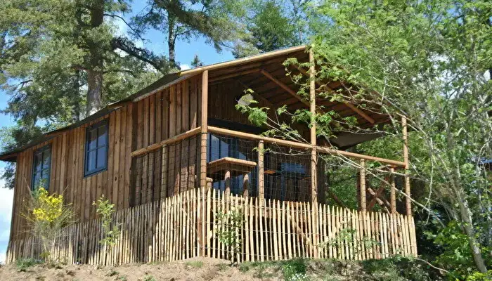
- Cabins / chalets
- Glamping
- Free WiFi
In the accommodation
- Microwave
- Equipped kitchen
- Fridge
- Bed linen
Water and electricity
- Electric hook-up
Leisure
- Restaurant
- Heated pool
- Children’s pool
- Playground
- Kids’ club
- Aqua aerobics
- Shows
- Games room
- Bar / café
- Basketball
- Volleyball
- Table tennis
- Archery
Services
- Fresh bread / bakery
- First aid
Gallery
Surroundings
Protected area (Natura 2000)
- Haute vallée du Lignon
Nearby
- Town · Coste Rousse400 m
Straight-line distances.
Sunrise and sunset (15th of each month)
- Jan08:17–17:26
- Feb07:44–18:09
- Mar06:56–18:47
- Apr06:58–20:27
- May06:13–21:04
- Jun05:55–21:31
- Jul06:09–21:27
- Aug06:44–20:51
- Sept07:21–19:55
- Oct07:58–18:59
- Nov07:40–17:14
- Dec08:14–17:01
Altitude: Copernicus DEM GLO-30 © DLR e.V. 2010-2014 and © Airbus Defence and Space GmbH 2014-2018, provided under COPERNICUS by the European Union and ESA.Natura 2000 © European Environment Agency, CC BY 4.0© OpenStreetMap contributors
Upload a real photo of the site and confirm your GPS location — earn 50 points.
Book with Jetcamp
Camping Les Murmures du Lignon - Flower
Contact
Weather here
Climate by month
No month meets the BLACAMP rule (average high between 20 and 30 °C and no more than 8 rainy days).
Show the data
| Month | High (°C) | Low (°C) | Rain (mm) | Rainy days | Clear days |
|---|---|---|---|---|---|
| January | 4 | -2 | 58 | 11 | 4 |
| February | 5 | -3 | 43 | 9 | 4 |
| March | 9 | 0 | 46 | 9 | 6 |
| April | 13 | 3 | 71 | 12 | 5 |
| May | 17 | 7 | 82 | 12 | 5 |
| June | 21 | 10 | 65 | 11 | 6 |
| July | 25 | 13 | 58 | 10 | 9 |
| August | 25 | 13 | 56 | 9 | 8 |
| September | 20 | 9 | 84 | 10 | 7 |
| October | 14 | 6 | 101 | 13 | 4 |
| November | 8 | 1 | 97 | 13 | 2 |
| December | 4 | -1 | 63 | 12 | 2 |
Clear: average daily cloud cover of 25% or less.
1991-2020 averages from NASA POWER for a model cell with a mean altitude of 807 m: not a weather station.